Spiral House Research
03.8.2006
Spiral Houseform, culture & atmosphere
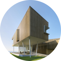
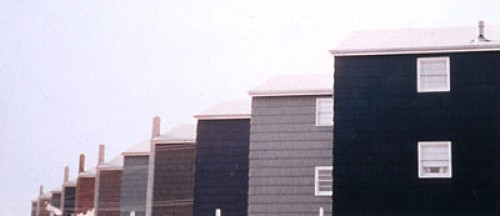
Spiral House quite directly emerges from its natural and social environs. The house is sited in a suburban neighborhood with a rich history of leisure associated with its vicinity to the coast. Well-manicured lawns carpet its coastal landscape in an image of suburban domesticity, replacing the latent qualities of the natural environment with conventional suburban typologies in a seemingly endless repetition of the house as a ‘picture’ of socially accepted codes [think Dan Graham’s Homes for America]. Spiral House works within the prescribed restrictions of the site (both social and environmental), employing atmospheric as well as geometric strategies to produce a dynamic, experience-oriented dwelling.
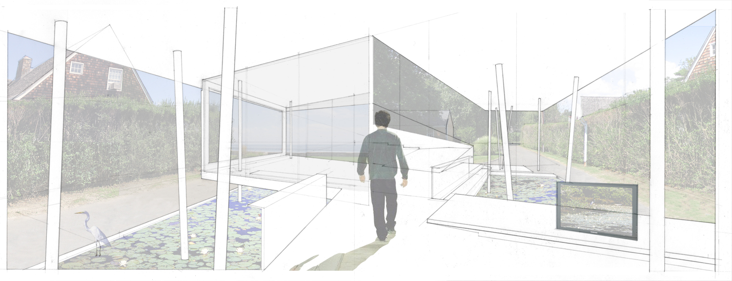
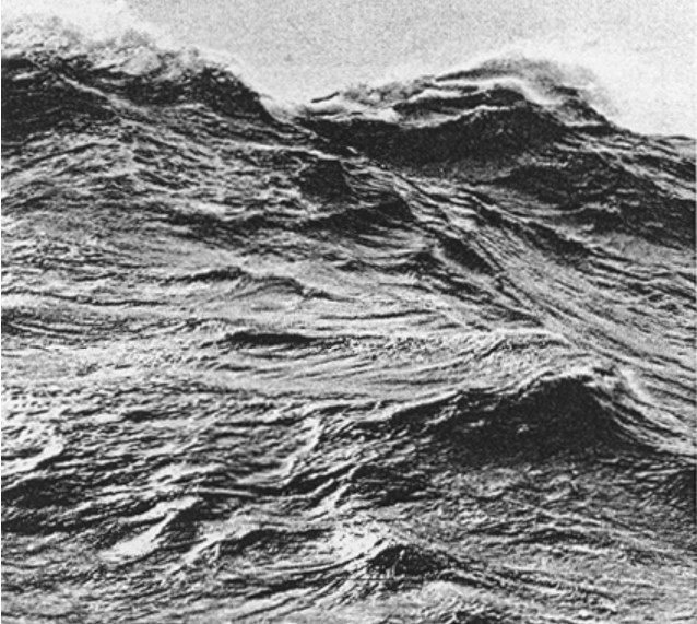
The coastal landscape of the site is one of indeterminacy. Subtle changes in the environment’s tidal and atmospheric conditions are framed in the space between the distant horizon and the property’s sea wall. The diaphanous glass walls of Spiral House that face the sea allow the architecture to merge with its surroundings, both mimicking the light and airy flows of the site and framing the dynamic ebbing of the tides and the winds beyond. Lattice cladding serves to further compound the dynamism of the site, creating a moray effect that is ever-changing as the user moves through the space and the sun passes by overhead. Here, the architectural object is an effect of its interaction with the temporal flows of this event-landscape.
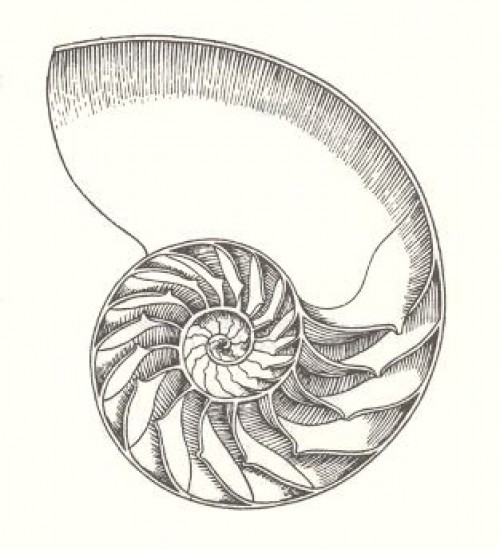
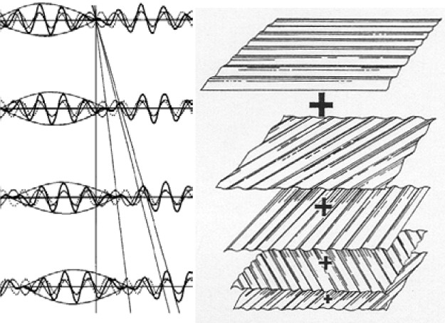
The house-form is the resultant effect of an interface and tension between two systems of geometery, one projective + linear and the other radial + dynamic. Through an overlapping system of spatial and geometric progression, growth and interference, the social-spatial roles of public and private, interior and exterior, house and landscape are intimately connected and entwined, and yet are also left curiously open-ended and indeterminate (nautilus shell).
02.8.2006
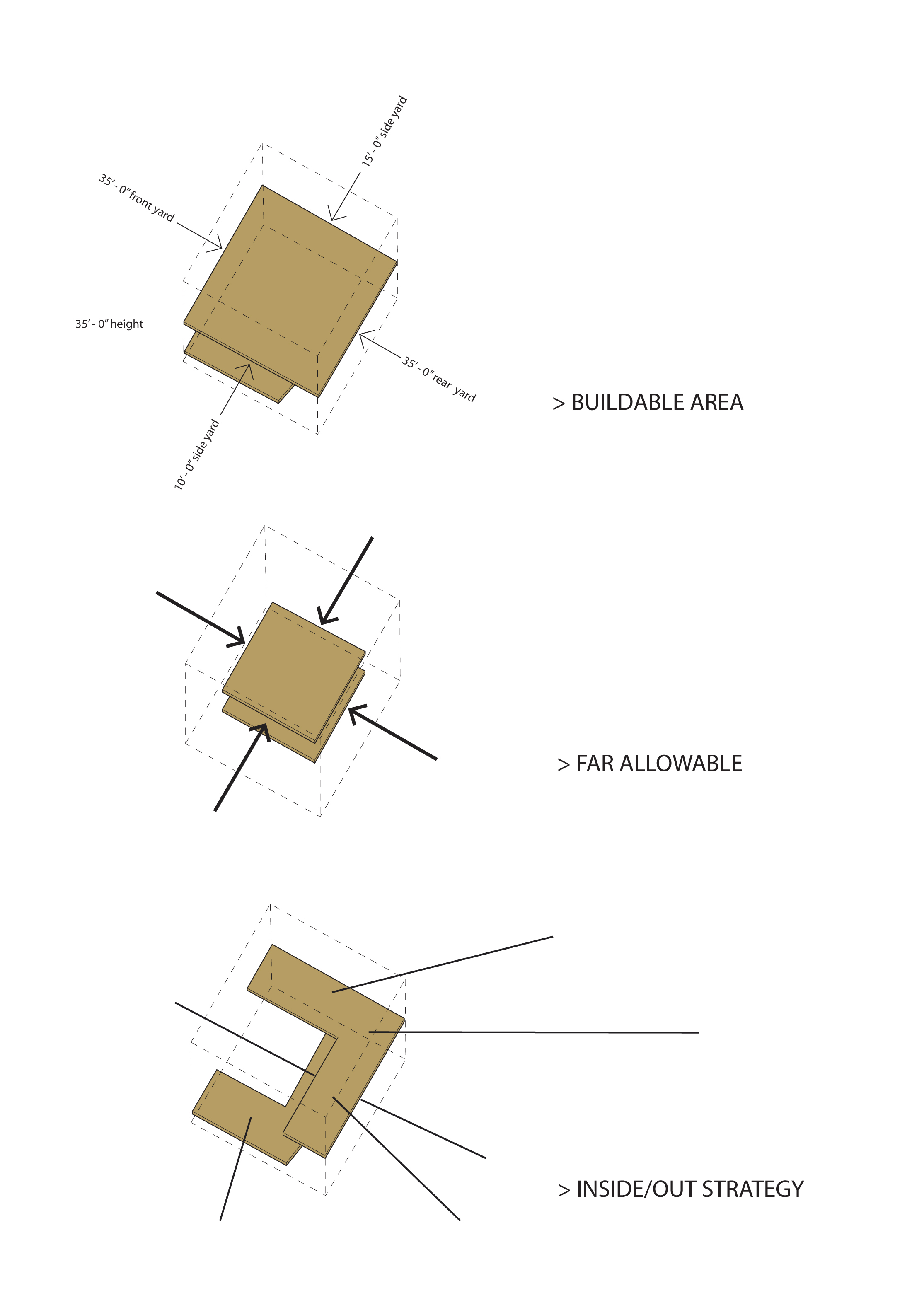
Spiral Housedesign strategy: form
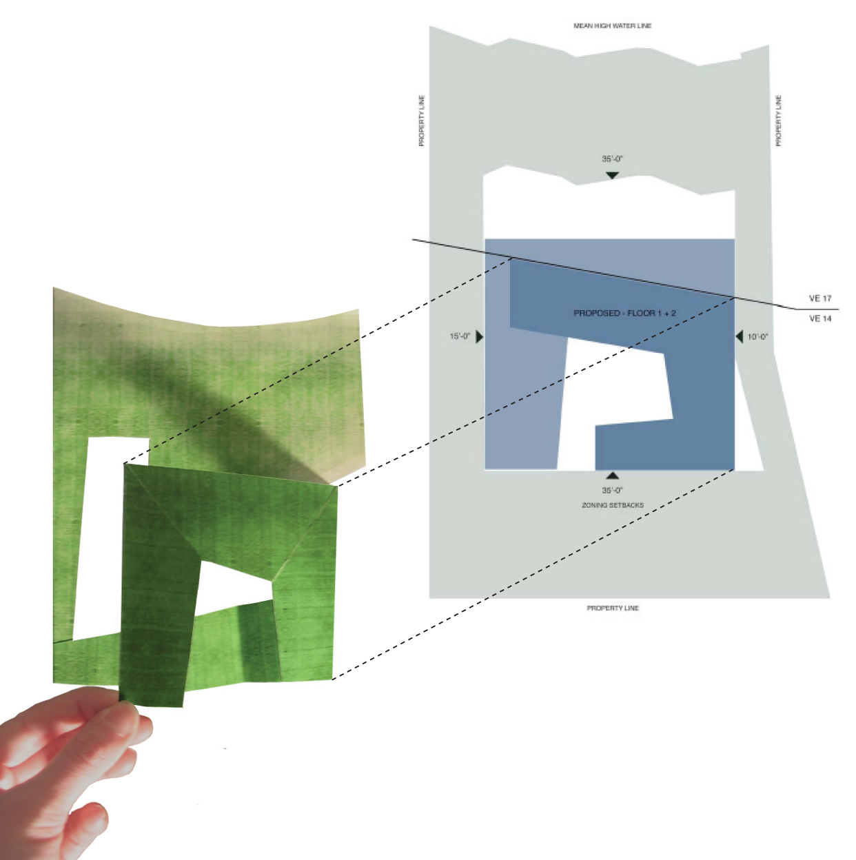
The geometry of the house is derived from the environmental flood plane, the zoning height, and the FAR restraints on the site. A sectional diagram demonstrates both the limits from the flood plane elevations and height restrictions imposed by zoning. The resultant radial geometry is simply an index of the linking of limits from above and below, now related.
